

ADVANCED DRONE SOLUTIONS FOR SMARTER PROJECT DECISIONS
High-accuracy drone mapping, inspections, 3D modeling, and aerial data solutions for construction, infrastructure, real estate, and development projects across Long Island, New York, New Jersey, and the Tri-State Area.




24–48 Hour Turnaround on Most Deliverables
High-Resolution Mapping & Inspections
Centimeter-Level Mapping Accuracy
FAA Part 107 • Fully Insured
YOUR TRUSTED DRONE SERVICE PROVIDER
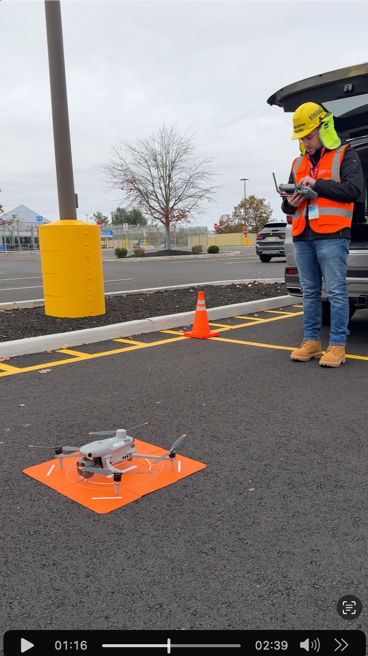
My Drone Booking provides professional, fully insured drone services across Long Island, New York City, New York, New Jersey, and the Tri-State Area. Every mission is planned with safety, FAA compliance, airspace requirements, and professional site coordination in mind.
Using enterprise-grade drone technology, we capture high-resolution imagery, RTK-enabled mapping data, and detailed 3D models for construction, infrastructure, real estate, and commercial property projects. From construction progress and site mapping to roof, building, and infrastructure inspections, our goal is to deliver accurate, dependable data that helps clients make better project decisions.
Explore Our Drone Services
Project monitoring can be time-consuming, fragmented, and dependent on frequent site visits.
My Drone Booking provides current aerial site data, faster visual inspections, and clear project documentation using professional, enterprise-grade drone systems.
How It Works:
1
Tell Us About Your Project
Share the project location, site type, required deliverables, and what you need: mapping, progress documentation, inspection, real estate, or aerial media.
2
Receive a Custom Quote
We’ll provide a clear proposal outlining the project scope, deliverables, pricing, and estimated turnaround time.
3
Schedule the Flight
We coordinate the flight date, weather conditions, airspace requirements, site access, and any project-specific safety considerations.
4
We Capture the Data
We complete the mission safely and efficiently using professional equipment and a capture workflow tailored to your project.
5
Receive Your Deliverables
Receive your organized photos, videos, orthomosaics, 3D models, inspection imagery, or other project data in the format required for your workflow.
Why Clients Choose My Drone Booking


Transparent Pricing
Clear project scopes, straightforward pricing, and no unnecessary surprises.
Reliable & Professional
FAA Part 107-compliant operations with a strong focus on safety, communication, and data quality.

Fast Turnaround
Most deliverables are completed within 24–48 hours, helping your project keep moving without unnecessary delays.
A Drone Service Company You Can Trust -
A Drone Service Company You Can Trust -
CREDENTIALS, TRAINING & INDUSTRY EXPERIENCE


FEDERAL AVIATION ADMINISTRATION - 14 CFR PART 107 sUAS

OSHA 10-hour Construction & General Industry Safety and Health
FEDERAL EMERGENCY MANAGEMENT AGENCY - ICS-100, ICS-200, ICS-700
LAND SURVEY
CONSTRUCTION & ENGINEERING
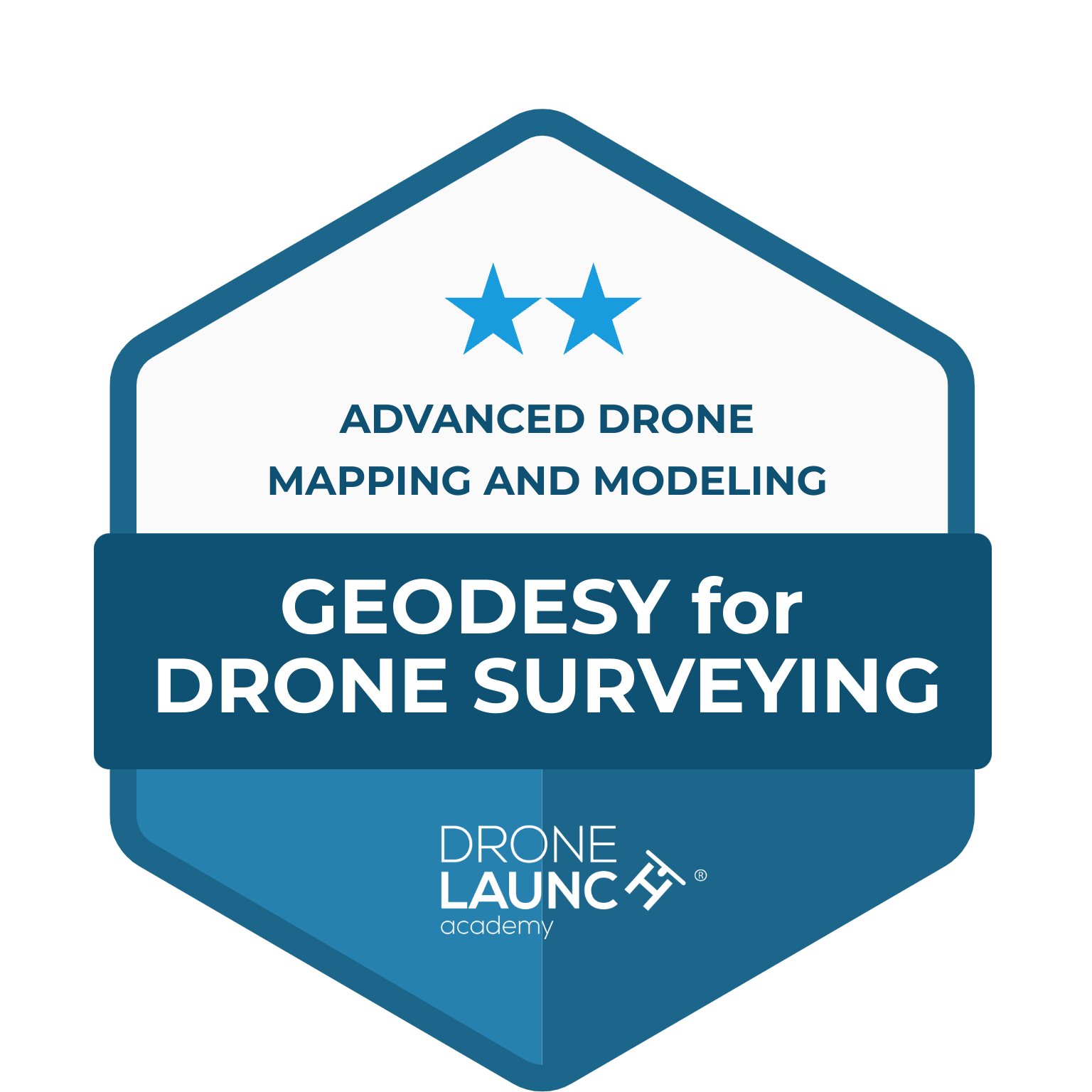
GEODESY FOR DRONE SURVEYING
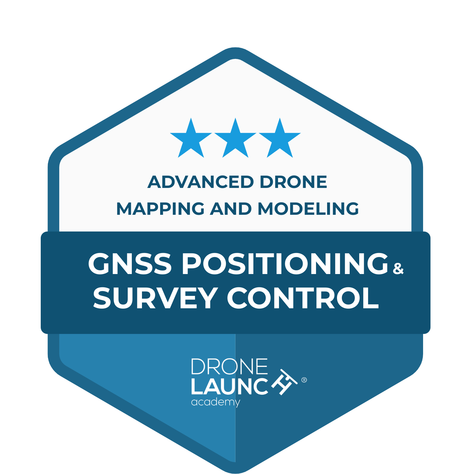
GNSS POSITIONING & SURVEY CONTROL
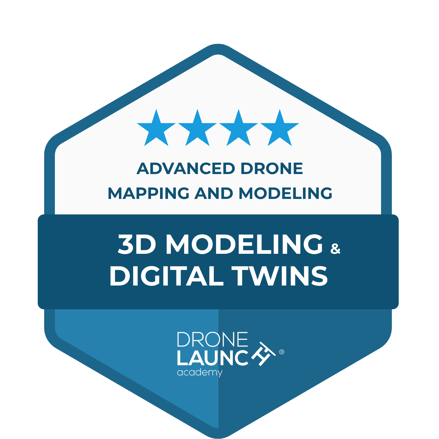
3D MODELING & DIGITAL TWINS
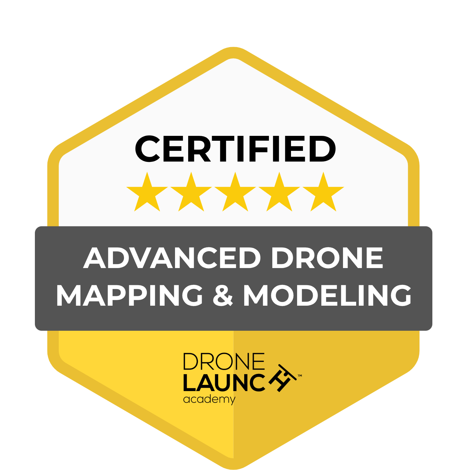
CERTIFIED ADVANCED DRONE MAPPING & MODELING
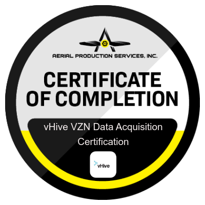
Data Acquisition Technician Full-scope telecom tower capture using vHive workflows.
MEET OUR FLEET:
The DJI Mini 4 Pro combines portability with professional imaging capabilities, making it ideal for aerial photography, video, real estate, and projects where a compact platform is beneficial. Its 48 MP camera supports high-resolution photography, 4K/60fps HDR video, and true vertical capture for social media content, with up to 34 minutes of flight time using the standard Intelligent Flight Battery.
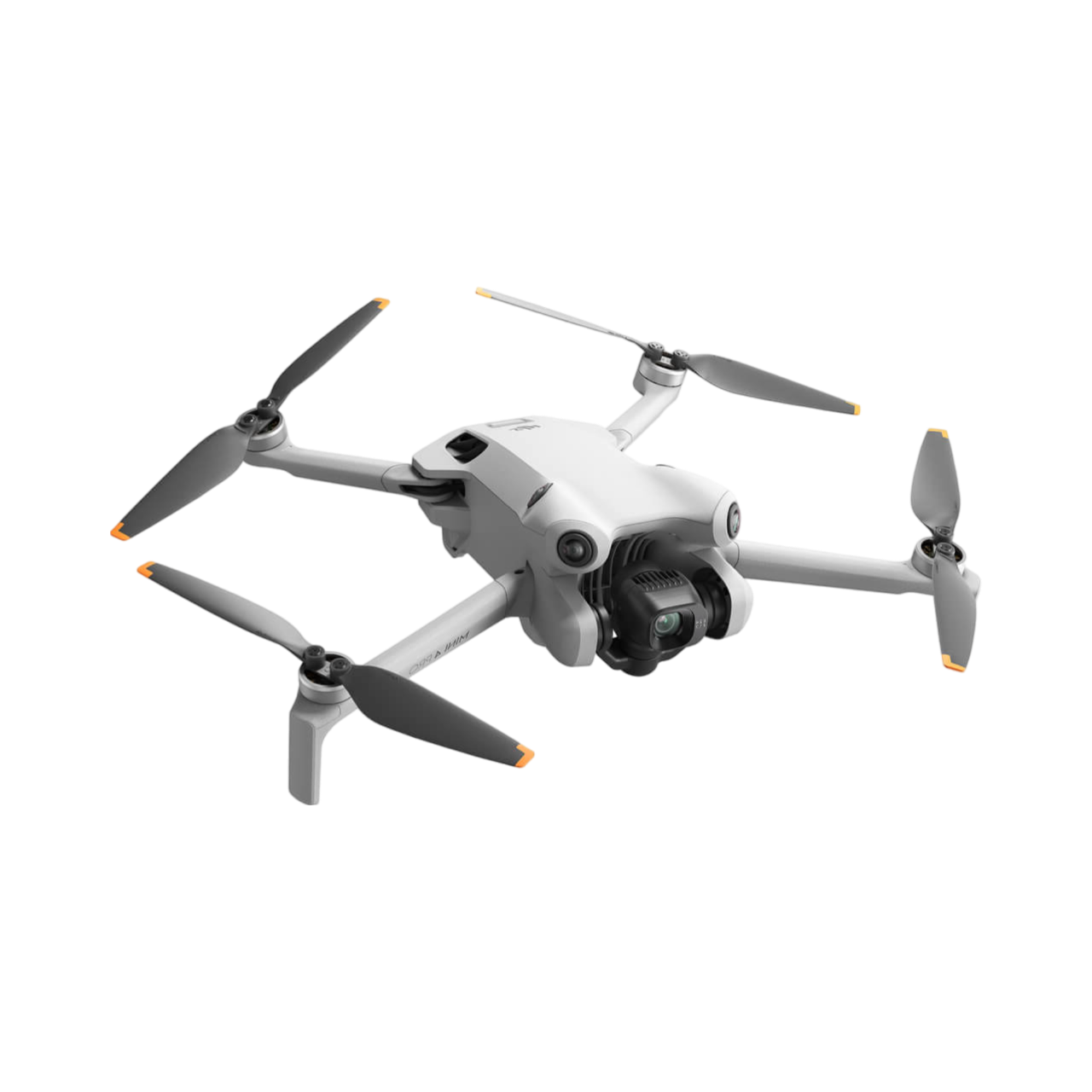
DJI MINI 4 PRO
The DJI Matrice 4E is our primary enterprise platform for mapping, construction documentation, and detailed site inspections. Its 4/3-inch 20 MP wide-angle camera, mechanical shutter, RTK capabilities, and advanced mapping features allow us to capture high-quality geospatial data efficiently across complex project sites. With a maximum flight time of up to 49 minutes under DJI’s specified test conditions, the Matrice 4E is built for professional data acquisition and demanding field operations.
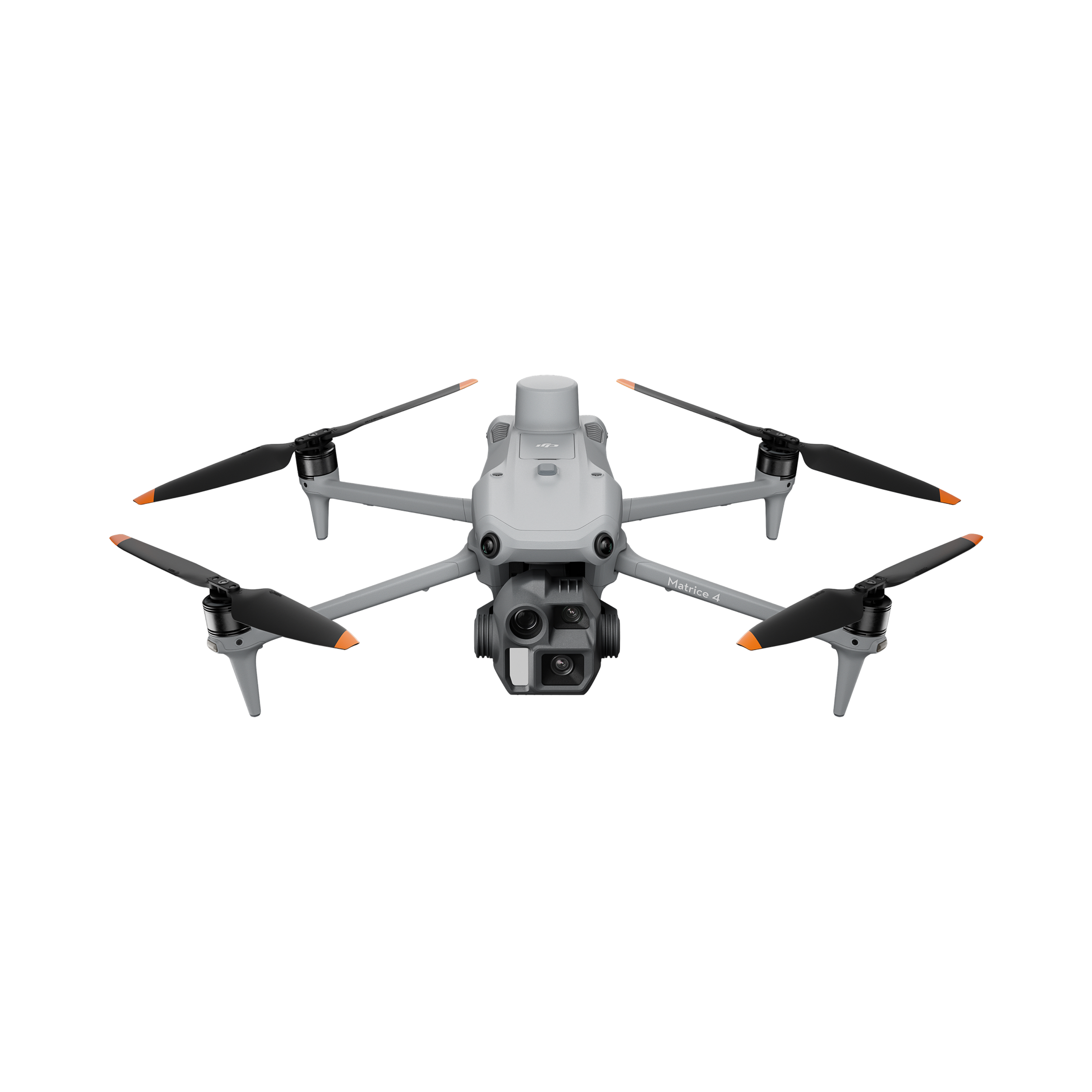
DJI MATRICE 4E
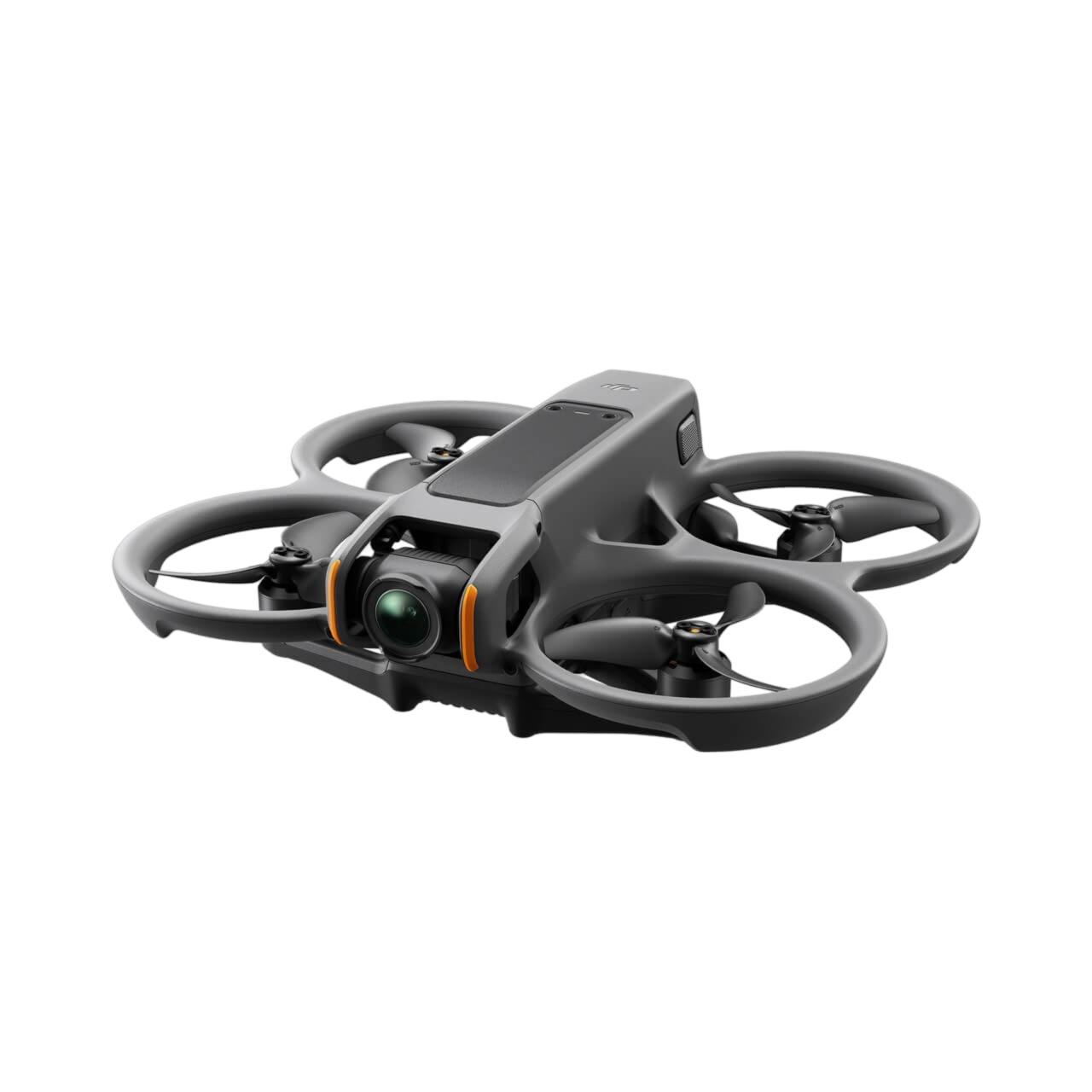
DJI AVATA 2
The DJI Avata 2 is our FPV platform for immersive aerial video, dynamic indoor footage, and creative flights through tighter environments. Its integrated propeller guards and compact design make it well suited for controlled flights around structures and interior spaces, while its camera captures up to 4K video and offers a maximum flight time of approximately 23 minutes.
We Have All the Answers to Your Questions!
Still have questions? Take a look at our FAQ or reach out anytime. We’re here to help you understand our services and support your project every step of the way.
-
Yes. My Drone Booking operates in full compliance with FAA regulations and carries comprehensive liability insurance. Every project is conducted safely, legally, and professionally.
-
Drone technology can reduce the need for repeated site visits, simplify access to difficult areas, and capture large amounts of visual and spatial data efficiently. This can help teams document progress, identify visible issues, improve communication, and make project decisions with more current information.
-
We offer drone mapping, construction progress tracking, aerial photography and video, inspections, and data capture for construction, real estate, and infrastructure projects.
-
Yes. We provide high-precision drone mapping, orthomosaics, and 3D models using advanced RTK technology for accurate and reliable results.
-
Most projects can be scheduled within 5–7 days, depending on location, weather, airspace requirements, site access, and project complexity. If you have a tighter deadline, contact us and we’ll confirm the earliest available date.
-
Most standard photo, video, and inspection deliverables are provided within 24–48 hours after the flight. Larger mapping, photogrammetry, and 3D modeling projects may require additional processing time depending on the size and complexity of the dataset.
-
No. In most cases, you do not need to be present during the flight. Once site access, project requirements, and any necessary coordination are confirmed, we can complete the mission and deliver the results remotely.
-
Drone technology eliminates the need for frequent site visits, speeds up inspections, and provides instant access to accurate data. This helps reduce delays, prevent costly mistakes, and improve overall project efficiency.
-
Our RTK-enabled mapping workflows can achieve centimeter-level accuracy when project conditions and control methods support it. Final accuracy depends on factors such as flight parameters, GNSS conditions, ground control, terrain, and processing requirements. If your project has a specific accuracy requirement, we can define the appropriate workflow before data capture.